Pollution
Type of resources
Available actions
Topics
Keywords
Contact for the resource
Provided by
Years
Formats
Representation types
Update frequencies
Scale
-

This proposal builds on an earlier feasibility study which successfully developed a model system for exposing plants to realistic measures of urban pollutants. The present study will evaluate the impacts of urban pollution climates on a broad range of plant species (trees, shrubs, herbs & lichens) and insect herbivores, using this facility and a range of supporting roadside transects. Direct impacts of pollutants on growth, physiology and leaf-surface characteristics of plants and plant-herbivore interactions will be assessed. Selective filtration studies will be used to separate effects of different components of exhaust pollution (gases/particles). The influence of abiotic stresses of urban environments (turbulence, water deficit, night illumination) on pollutant uptake, plant growth and plant herbivore interactions will be evaluated.
-

Data on groundwater pollution for Bishket, Kyrghyzstan.
-

Spatial data for Bishket urban pollution project data on groundwater pollution
-

In process-controlled remediation of contaminated land the prospects for lasting success of a particular technique are often governed by the physicochemical properties and composition of the soil environment. Using a range of physical, chemical and biological techniques, this project will investigate these parameters and the key determinants at separate chromium- and polycyclic aromatic hydrocarbon-contaminated sites in central Scotland. The data will then be used to generate, for the specific types of sites and remedial approaches, customised linked chemical/physical transport models within which the influence of these parameters on site stability and remediative effectiveness can be tested. The latter will be further assessed via post-remedial screening of soil microbiological activity.
-
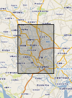
2 published papers from NERC grant NE/G016879/1. Palaeosol Control of Arsenic Pollution:The Bengal Basin in West Bengal, India by by U. Ghosal, P.K. Sikdar, and J.M. McArthur. Tracing recharge to aquifers beneath an Asian megacity with Cl/Br and stable isotopes: the example of Dhaka, Bangladesh by M. A. Hoque, J. M. McArthur, P. K. Sikdar, J. D. Ball and T. N. Molla (DOI 10.1007/s10040-014-1155-8)
-
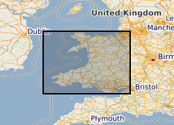
The Environment Agency and Natural Resources Wales have updated its groundwater vulnerability map to reflect improvements in data mapping, modelling capability and understanding of the factors affecting vulnerability. Two new maps are available which show the vulnerability of groundwater to a pollutant discharged at ground level. The potential impact of groundwater pollution is considered using the aquifer designation status which provides an indication of the scale and importance of groundwater for potable water supply and/or in supporting baseflow to rivers, lakes and wetlands. This dataset for Wales has shared intellectual property (IP) between Natural Resources Wales and British Geological Survey.
-
Programme of research funded by the Natural Environment Research Council. URGENT aims to stimulate the regeneration of the urban environment through understanding and managing the interaction of natural and man-made processes. Projects throughout the UK first set up in 1997 and completed in 2005. It was supported by partners from British industry, local authorities and Government agencies. A total of 40 URGENT projects in four key areas - air, water, soil and ecology. The projects aim was to determine the magnitude of urban environmental problems and risks, to understand the underlying patterns and processes that affect them, and to produce effective strategies for control and managment which will be accessible to users both in the UK and abroad.
-
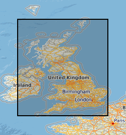
[This metadata record has been superseded, see http://data.bgs.ac.uk/id/dataHolding/13608197] An index to the manuscript notebook collection was set up in the 1990's. The notebooks themselves contain detailed information gathered by BGS geologists (or other recognised geologists) from various sources as part of the mapping of Great Britain since the 1840s. Examples include observations linked directly to field slips, borehole logs, sections and drawings. All the notebooks held by National Geological Records Centre (NGRC) are indexed but other notebooks held in the Library may not be included. The index is to the notebooks and is not a detailed index of the information in the notebook. Detailed information from coalfield areas is held in the Happs Hall Index. For the basic field mapping work notebooks have now been replaced by field record sheets.
-
Concentrations of total organic carbon (TOC), total petroleum hydrocarbons, polycyclic aromatic hydrocarbons (PAHs) and polychlorinated biphenyls (PCBs) were determined in 84 near-surface soils (5-20 cm depth) taken from a 255 km2 area of Glasgow in the Clyde Basin, UK, during July 2011. Total petroleum hydrocarbon ranged from 79-2,505 mg kg-1 (mean 388 mg kg-1; median 272 mg kg-1) of which the aromatic fraction was 13-74 % (mean 44 %, median 43 %) and saturates were 28-87 % (mean 56 %, median 57 %). Σ16 PAH varied from 2-653 mg kg-1 (mean 32.4 mg kg-1; median 12.5mg kg-1) and Σ31 PAH range was 2.47-852 mg kg-1 (mean 45.4 mg kg-1; median 19.0 mg kg-1). PCB tri-hepta range was 2.2-1052 mg kg-1 (mean 32.4 mg kg-1; median 12.7 mg kg-1) and the ΣPCB7 was 0.3-344 mg kg-1 (mean 9.8 mg kg-1; median 2.7 mg kg-1). This data is associated with the published research paper https://doi.org/10.1017/S1755691018000324 Kim, A.W., Vane, C.H., Moss-Hayes, V. Berriro, D.B., Fordyce, F., Everrett, P. Nathanail, P.C. 2018. Polycyclic aromatic hydrocarbons (PAH) and polychlorinated biphenyls (PCB) in urban soils of Glasgow, UK. Earth and Environmental Science Transactions of the Royal Society of Edinburgh 108, 2-3, 231-248.
-
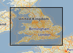
The Environment Agency has updated its groundwater vulnerability map to reflect improvements in data mapping, modelling capability and understanding of the factors affecting vulnerability. Two new maps are available which show the vulnerability of groundwater to a pollutant discharged at ground level. The potential impact of groundwater pollution is considered using the aquifer designation status which provides an indication of the scale and importance of groundwater for potable water supply and/or in supporting baseflow to rivers, lakes and wetlands. This dataset has shared IP (Intellectual Property) between Environment Agency and British Geological Survey. It supersedes the previous Groundwater Vulnerability 100k data released by EA.
 NERC Data Catalogue Service