 NERC Data Catalogue Service
Ground water recharge
Type of resources
Topics
Keywords
Contact for the resource
Provided by
Years
Formats
Representation types
Update frequencies
-
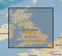
The data are the gridded recharge values obtained from the BGS distributed recharge model (ZOODRM) driven by 11 Ensembles of the HaDCM3 Regional Climate Model (RCM) taken from the Future Flow and Groundwater Level data set (http://www.ceh.ac.uk/our-science/projects/future-flows-and-groundwater-levels). The model covers the mainland areas of England, Scotland and Wales. The 11 ensembles are run from January 1950 to December 2099. The dataset themselves are the gridded (2 km by 2 km) outputs from the recharge model averaged over four time horizons: historical, 20s, 50s, and 80s, for each of the 11 ensembles. The results can be used to assess the impact of climate change on potential recharge (soil drainage) for catchments in mainland England, Scotland and Wales.
-
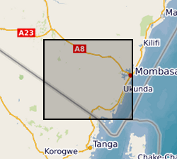
The data sets contain the monthly rainfall volume from manual rain gauge stations spread across the study area. There are 11 rainfall stations. The rain unit is mm. In addition, the dataset contains the chloride concentration in mg/l of the rainfall, for each month. Blank data (-) means data not available due to not enough rain volume, no rainfall or problems when transporting the samples from Kenya to Barcelona. The data available is only from April 2016 to November 2017. This data is useful to calculate the recharge volume by chloride mass balance (CMB) methodology. https://www.hydrol-earth-syst-sci-discuss.net/11/307/2014/hessd-11-307-2014-print.pdf
-
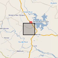
These files include hydrochemical data and groundwater level time series for a number of boreholes and wells within the basement aquifers of the Romwe catchment. For each borehole/well there are associated depth, geology and use data. A time series study of abstraction was also carried out for a subset of wells. Time series rainfall data for a rain gauge in the catchment is also included. These data were collected through a series of projects: Small scale irrigation using collector wells: pilot project (CEH/BGS/Zimbabwe Ministry of Lands, Agriculture and Water Development; DfID funded) Sustainability of yield from wells and boreholes in hard rock aquifers (BGS; DfID funded) Regional groundwater recharge assessment in semi-arid areas (CEH/BGS; DfID-funded) The Hydrology of a dry land catchment in southern Zimbabwe, and the effects of climatic and land use change on shallow groundwater resources (PhD project, Uni. Reading/CEH) Integrated Catchment Management and Sustainable Water Resource Development in Semi-arid Zimbabwe (PhD project, Uni. Reading/CEH) Note: CEH (Center of Ecology and Hydrology) was known as ‘IH’ during the period of the study
-
Data files and reports from NERC grant NE/L001934/1, Optimizing Road Development for Groundwater Recharge and Retention. 1. Optimizing Intensified Runoff from Roads for Supplemental Irrigation: Tigray Region, Ethiopia MSc Thesis by Meseret Dawit Teweldebrihan 2. Reconnaisance Report: Potentials of water harvesting from road catchments: the case of Freweign-Hawzien-Abreha Weatsbeha route, Tigray, Northern Ethiopia 3. Reconnaissance Report for Water harvesting from roads in Tigray, Northern Ethiopia: Practices, Opportunities and Design Considerations 4. Reconnaissance Report Road development and gully erosion in Ethiopia: Towards the design of multifunctional roads to harvest water 5. Where does the water flow? Roads runoff, soil erosion, groundwater, livelihoods and poverty alleviation in Tigray, Ethiopia
-
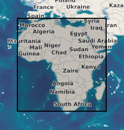
This dataset comprises a map of groundwater recharge for Africa and a database of the 134 observations used to generate the map. The map shows long term average annual groundwater recharge in mm per annum relevant to the period 1970 to 2020. It is in the form of a GIS shapefile and is available as a layer package for ESRI and also as a georeferenced TIFF and BIL file for easy exchange with other software. The database contains 134 sites for which ground based observations for groundwater recharge are available. These 134 sites are from previously published material and have gone through a QA procedure and been accurately geolocated to be included in the dataset. For each record there is a latitude, longitude, recharge estimate, recharge range, time period for the measurement; scale for which the estimate is made, methods used, a confidence rating and reason for this rating, and the reference from where the data originate. In addition, the database includes for each observation information from other continental datasets including: climate data, landcover, aquifer type, soil group and the normalized difference vegetation index (NDVI).