Borehole imaging
Type of resources
Topics
Keywords
Contact for the resource
Provided by
Years
Formats
Representation types
Update frequencies
-

This dataset contains the borehole image interpretation of the United Downs 1 borehole, Cornwall (BGSID: 21246966) The acoustic borehole images have been interpreted for faults, breakouts and conductive and resistive fractures. For faults and fractures each line in the file defines a plane passing through the borehole. This includes: • Depth at which the plane intersects the borehole wall, this is defined as the midpoint of the feature as each plane has a top and bottom intersection. • Azimuth, this is the azimuth of the dip direction of the plane, it is at 90 degrees to the strike of the feature. • Dip, this is the dip angle of the plane. • Type, this is a classification of the feature. For breakouts each line represents an individual feature which covers and area of the borehole wall. This includes: • Depth the midpoint depth of the breakout. • Azimuth, this is the orientation of the breakout. • Type, this is a classification of the feature. • Breakout Height, the length of the breakout in meters. • Breakout Width, the width of the breakout in degrees. • Type, this is a classification of the feature. The work was undertaken by BGS as part of the GWatt Project award reference number NE/S004262/1. It was funded by the UKRI Natural Environment Research Council.
-

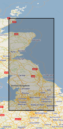
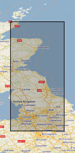
This datasets contains 323 observations of borehole breakouts across and drilling induced tensile fractures from borehole imaging used to re-characterise the UK stress field orientation in 2016. This was published in the Journal of Marine and Petroleum Geology and is openly available using doi:10.1016/j.marpetgeo.2016.02.012 The observations relate to 39 wells from Central and Northern England and are provided with links to screen grabs of the images for clarity. The basic well meta data is supplied along with a description of the dataset. The Images were generated in the IMAGE DISPLAY module of the Landmark RECALL software. and are supplied on an “as shown” basis. Descriptions of the tools and the techniques used are listed in the accompanying paper: KINGDON, A., FELLGETT, M. W. & WILLIAMS, J. D. O. 2016. Use of borehole imaging to improve understanding of the in-situ stress orientation of Central and Northern England and its implications for unconventional hydrocarbon resources. Marine and Petroleum Geology, 73, 1-20.
-

The borehole information pack from borehole GGC01, site 10 of the UK Geoenergy Observatories (UKGEOS) Glasgow facility. This intermediate data release pack from BGS contains core scan optical and X-ray images from the core scanning facility at BGS Keyworth. The cored, seismic monitoring borehole was drilled between 19 November and 12 December 2018 to 199m producing a core of 102 mm diameter. The borehole was wireline logged in December 2018 and a string of 5 seismometers were installed in February 2019. A range of fluid, water and core samples were taken during the drilling process. The borehole information pack- intermediate release contains a range of logs on the core as well as images of that core, these data were acquired in the first half of 2019. More information is available in the accompanying metadata report http://nora.nerc.ac.uk/id/eprint/525009.
-

This datasets contains 323 observations of borehole breakouts across and drilling induced tensile fractures from borehole imaging used to re-characterise the UK stress field orientation in 2016. This was published in the Journal of Marine and Petroleum Geology and is openly available using doi:10.1016/j.marpetgeo.2016.02.012 The observations relate to 39 wells from Central England, Northern England and Northern Scotland and are provided with links to screen grabs of the images for clarity. The basic well metadata is supplied along with a description of the dataset. The Images were generated in the IMAGE DISPLAY module of the Landmark RECALL software and are supplied on an “as shown” basis. Descriptions of the tools and the techniques used are listed in the accompanying paper: KINGDON, A., FELLGETT, M. W. & WILLIAMS, J. D. O. 2016. Use of borehole imaging to improve understanding of the in-situ stress orientation of Central and Northern England and its implications for unconventional hydrocarbon resources. Marine and Petroleum Geology, 73, 1-20.
 NERC Data Catalogue Service