 NERC Data Catalogue Service
Ground water pollution
Type of resources
Topics
Keywords
Contact for the resource
Provided by
Years
Formats
Representation types
Update frequencies
Scale
-
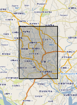
2 published papers from NERC grant NE/G016879/1. Palaeosol Control of Arsenic Pollution:The Bengal Basin in West Bengal, India by by U. Ghosal, P.K. Sikdar, and J.M. McArthur. Tracing recharge to aquifers beneath an Asian megacity with Cl/Br and stable isotopes: the example of Dhaka, Bangladesh by M. A. Hoque, J. M. McArthur, P. K. Sikdar, J. D. Ball and T. N. Molla (DOI 10.1007/s10040-014-1155-8)
-
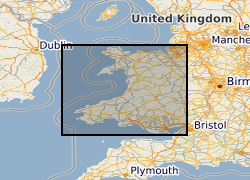
The Environment Agency and Natural Resources Wales have updated its groundwater vulnerability map to reflect improvements in data mapping, modelling capability and understanding of the factors affecting vulnerability. Two new maps are available which show the vulnerability of groundwater to a pollutant discharged at ground level. The potential impact of groundwater pollution is considered using the aquifer designation status which provides an indication of the scale and importance of groundwater for potable water supply and/or in supporting baseflow to rivers, lakes and wetlands. This dataset for Wales has shared intellectual property (IP) between Natural Resources Wales and British Geological Survey.
-
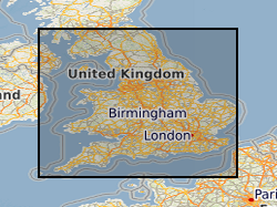
This layer of the map based index (GeoIndex) shows where aquifer vulnerability maps are available for England and Wales. These maps identify areas in which the groundwater resources require protection from potentially polluting activities. The maps are designed to be used by planners, developers, consultants and regulatory bodies to ensure that developments conform to the Policy and Practice of the Environment Agency for the protection of Groundwater. The Soil Survey, Land Research Centre and the British Geological Survey were commissioned by the Environment Agency to prepare 53 groundwater vulnerability maps at 1:100,000 scale. Currently we are unable to provide scanned copies of these maps due to Copyright restrictions. Please note that these maps are based on data from the late 1980's and early 1990's. More up-to-date digital data may now be available from the Environment Agency.
-
The Environment Agency has updated its groundwater vulnerability map to reflect improvements in data mapping, modelling capability and understanding of the factors affecting vulnerability. Two new maps are available which show the vulnerability of groundwater to a pollutant discharged at ground level. The potential impact of groundwater pollution is considered using the aquifer designation status which provides an indication of the scale and importance of groundwater for potable water supply and/or in supporting baseflow to rivers, lakes and wetlands. This dataset has shared IP (Intellectual Property) between Environment Agency and British Geological Survey. It supersedes the previous Groundwater Vulnerability 100k data released by EA.