Trace analysis
Type of resources
Topics
Keywords
Contact for the resource
Provided by
Years
Formats
Representation types
Update frequencies
Scale
-

Major and trace elemental analysis of sulphide samples from the Beebe Vent Field. Geographical area - Beebe Vent Field, Cayman Trough, 18°32.798N,81°43.092W
-
The dataset consists of a spreadsheet containing whole rock geochemistry (Major and trace elements, Hf isotopes) from 7 samples and zircon U-Pb, O, Hf isotope and trace elements compositions (>200 spots on zircons from 7 samples) analysed by Ion Microprobe (NERC EIMF) and MC-LA-ICP-MS (NIGL). The samples are Eoarchaean amphibolite-facies mafic gneisses and a pegmatite as well as granulite-facies mafic gneiss and migmatite (melano- and leucosome) from the Kapuskasing uplift in Ontario, Canada.
-

Major and trace elements data for whole rock and clinopyroxene; major elements data for glassy groundmasses; BSE (back-scattered electron) images of clinopyroxene; Fe-Mg elemental diffusion timescales of clinopyroxene; LA-ICP-MS chemical maps of clinopyroxene.
-
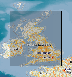
Profile soil analyses are available from a number of BGS programmes, notably the Mineral Reconnaissance Programme (MRP) and the Geochemical Baseline Survey of the Environment (G-BASE) programme. Sampling depth and range of analytes determined is very variable for the MRP. G-BASE samples are consistently from 35 - 50 cm though since 2003 it has become routine practice in the G-BASE project to collect a top soil and deeper profile sample from the same site but only analyses the top soil and store the profile soil. This also applies in urban areas. The G-BASE profile soils were generally sieved to 150 microns before analysis and determined by XRFS for some or all of: Mg, P, K, Ca, Ti, Mn, Fe, V, Cr, Co, Ba, Ni, Cu, Zn, Ga, As, Se, Rb, Sr, Y, Zr, Nb, Mo, Pb, Bi, Th, U, Ag, Cd, Sn, Sb, Cs, La, Ce, Ge, Sc, Se, Br, Hf, Ta, W, Tl, Te and I. MRP samples can include profile samples from greater than 1 meter collected using a power auger and also include till samples. The G-BASE samples are collected at a density of 1 sample per two square kilometres in rural areas and 4 samples every kilometre square in urban areas. MRP sampling was more site specific generally collecting soil samples along lines at spacing intervals generally 25 - 250 m.
-
Major and trace element data for partial melts derived from high pressure-temperature experiments on a basaltic starting composition from the Ontong Java Oceanic Plateau.
-
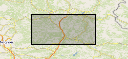
Stable Isotope and trace element analyses (Ca, Sr, Mg, Fe and Mn concentrations) derived from Cretaceous Belemnites including Duvalia tornajoensis, D. cf. lata constricta, D. binervia, D. cf. emericii, Hibolithes, H. cf. jaculoides, Berriasibelus, Castellanibelus and Pseudobelus.
-
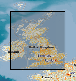
This layer of the map based index (GeoIndex) shows the locations of over 12,500 rock samples from the land area of the United Kingdom gathered as part of the Mineral Reconnaissance Programme (MRP). The Mineral Reconnaissance Programme (MRP), funded by the DTI, carried out baseline mineral exploration in Great Britain between 1972 and 1997. The programme has been subsumed into the new BGS Minerals Programme, also funded by the DTI. The rock samples have been analysed for a variety of major and trace elements, mainly by XRF.
 NERC Data Catalogue Service