
Springs
Type of resources
Available actions
Topics
Keywords
Contact for the resource
Provided by
Years
Formats
Representation types
Update frequencies
Scale
-

Details of location and geology of wells and springs on Anglesey plus 6 inch County Sheet site maps.
-

Series of reports on Wells and Springs of English counties, Wartime Pamphlets of water wells and published BGS Well Inventories.
-

This dataset contains geochemical data from springs, streams and monsoonal rainwater samples, collected from the Melamchi Valley catchment, Nepal, between 2022 and 2025. The data includes analysis of major ions, stable water isotopes and Sr, Li, Si and C isotopes to investigate chemical weathering along mountain flow paths. Filtered water samples were collected across the Melamchi Valley catchment, with springs grouped into sub-linear transects. Additional time series samples span 2023 to 2025 at bi/weekly sampling at 5 sites.
-
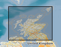
The collection consists of records for c.5000 wells and springs in Scotland mostly lodged by drillers in compliance with the Water Act. These include data on well construction, water yields, water levels, water chemistry and well lithology. The collection is organised on the One-Inch Geological Sheet basis. Catalogues for wells in Central Scotland were published between 1963 and 1969. The BGS Single Onshore Borehole Index (SOBI) provides a partial digital index to the records.
-
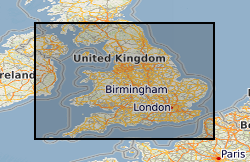
100,000 paper records of water wells, including details of lithologies, well construction, water levels and yields and water chemistry. Details lodged by drillers under statute. Includes approximately 90% of water boreholes in England & Wales, less in Scotland. There is a high density of information over major aquifers and urban areas with new data added as it is received from drillers and other outside organisations. The level of detail within individual records varies, reflecting historical changes in reporting practices.
-

The current database was developed to record Karst Geohazard information acquired as part of its onshore core and commissioned mapping programmes. Information held on the database includes details on stream sinks, sinkholes, natural cavities and associated building damage. The database is being compiled when staff and project funds are available to do the work. The dataset is currently updated on an irregular basis as new karst geohazard information is received from field surveys. Karst geohazard details observed and measured in the field are recorded on a standard proforma or digitally using the BGS•SIGMAmobile tablet computers or in the office via a GSD (Geological Spatial Database) to ensure consistency of information and to allow easy entry into the database. The database currently holds details of karst geohazards in: The limestone areas of the Mendip Hills, Bath, Bristol, Monmouth, Plymouth, Derbyshire Dome,and South Wales (North Crop), North Pennines (Malham to Hawes and Weardale: Rookhope to Cornriggs). The chalk of Southern England (especially in Dorset, and the Salisbury, Winchester, Andover, Basingstoke, Dorchester, Hungerford and Alresford, Worthing, South London (Leatherhead-Croydon-Bromley), Newbury, Maidenhead, Hemel Hempstead, St Albans, Hatfield. Jurassic limestone areas from Grantham to Stamford. Gypsum areas in Yorkshire, Cumbria and Darlington. Salt areas in Cheshire and Stafford (natural and brine extraction-induced sinkholes). The database is eventually intended to hold information on karst geohazards throughout Great Britain and about half of the country is now included.