
daily
Type of resources
Available actions
Topics
Keywords
Contact for the resource
Provided by
Years
Formats
Representation types
Update frequencies
Scale
-
[This metadata record has been superseded, see http://data.bgs.ac.uk/id/dataHolding/13480403]. Index to reports of site investigations produced by external organisations carried out for all forms of site investigation. The Oracle index was setup in 1988 and covers the whole of Great Britain, all site investigation reports are indexed but the level of detail in the index for each record may vary. The reports date back to the 1950's and may contain information on boreholes, trial pits, laboratory tests and chemical analyses etc.
-

Contains the administrative and historical records of the Survey from 1835. The archive contains official files, correspondence, maps, photographs and many items dealing with the history of geology in general.
-

The commercial GeoReports project, under the National Geoscience Information Service sector of the Information Systems and Management directorate, produces around 8000 GeoReports a year, giving an annual turnover of over 600,000 pounds currently. The site specific reports are aimed at anyone who is investigating ground conditions in Great Britain (geology, hydrogeology and any related geohazards, including radon). Georeports reference: http://www.bgs.ac.uk/georeports
-
Index to the reports of work carried out by the BGS and its precursors. The index was set up in 1988 and has worldwide coverage. These reports cover a wide range of scientific and technical disciplines and were produced for a variety of purposes. The reports are not published but copies can be provided on demand subject to any restrictions. All registered Technical Reports held in collection are indexed. Start date of digital index circa 1988. Technical reports date from circa 1950 onwards.
-

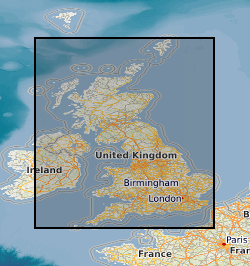
Records for Great Britain of the statutory notifications of the intention to drill any boreholes, shafts or wells under the Mining Industry Act 1926 or the Water Resources Act 1991( plus voluntary notifications) . Information has been collected and maintained centrally from the 1950's, earlier records however are only on index cards. Complete for all boreholes since 1988 but record data will vary depending on the original purpose. Access restrictions apply.
-
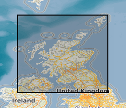
The collection consists of records of enquiries answered by the Land Survey from c.1939 to 1970, with a small number of earlier records. Pre c.1960 files relate mainly to economic mineral enquiries while files after that year relate increasingly to enquiries on geological site conditions. Enquiry records of former Leeds and Newcastle offices, relevant to UK(North), are held for c.1950 to 1992. Edinburgh Office enquiry files dated up to 1970 have been reviewed for retention/destruction and those of continuing informational or historical value have been retained as archives. Post 1970 files are confidential to BGS staff. Indexed on Land Survey Record Index (LSRI). Edinburgh enquiry files are referenced EE, (ex-Newcastle Office enquiries, EN). Covers Scotland and Northern England with concentrations in urban ares. All non-confidential data held by NGRC(North) is available to users.
-

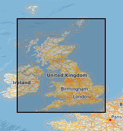
Scanned images of large scale or large format plans of all types including those relating to mining activity, including abandonment plans and site investigations. The images include plans held in the BGS Collection but also plans held elsewhere. The majority of scans produced from 2002. All the plans are indexed on BGS.ALL_PLANS and non-coal plans are also available by the Mining Portal. Not all the plans have been scanned. The collection covers the whole of Great Britain.
-
[This metadata record has been superseded, see http://data.bgs.ac.uk/id/dataHolding/13608197] Manuscript notebooks, section books and field record cards containing detailed information gathered by the Survey geologists (or other recognised geologists) from various sources as part of the mapping process. Examples include observations linked directly to field slips, borehole logs, sections and drawings. Note: For the basic field mapping work notebooks have now been replaced by field record cards. Covering survey areas in Great Britain from 1840's to date.
-

Index to the BGS collection of downhole CCTV recordings and also backup tapes for SKYLAB satellite imagery. The Oracle index was setup in 1997 and covers the whole of Great Britain, all received videos are indexed but the level of detail in the index may vary between entries.
-

Collection of reports, notebooks interpretations, plans and other data for Great Britain received from external organisations that are not part of other collections. Covers a wide variety of topics that have been gathered over a variety of time scales.