MAP
Type of resources
Topics
Keywords
Contact for the resource
Provided by
Years
Formats
Representation types
Update frequencies
Scale
-

Details of location and geology of wells and springs on Anglesey plus 6 inch County Sheet site maps.
-

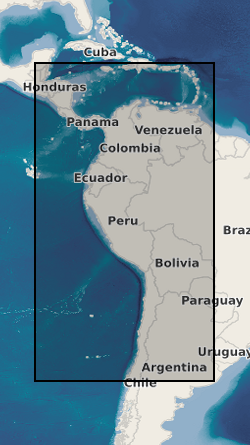
Data from geophysical surveys in many South American and Caribbean countries carried out by the British Geological Survey for different agencies. The surveys range from regional gravity and airborne magnetic mapping to targetted surveys for mineral and water. Individual surveys do not yet have metadata entries: this entry describes a notional database that represents all geophysical surveys carried out within the region.
-

BGS has carried out geophysical surveys in many countries for different agencies. The surveys range from regional gravity and airborne magnetic mapping to targetted surveys for mineral and water. Individual surveys do not yet have metadata entries: this entry describes a notional database that represents all overseas geophysical surveys.
-

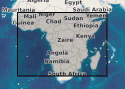
Data from geophysical surveys in many African countries carried out by the British Geological Survey for different agencies. The surveys range from regional gravity and airborne magnetic mapping to targetted surveys for mineral and water. Individual surveys do not yet have metadata entries: this entry describes a notional database that represents all geophysical surveys carried out within the region.
 NERC Data Catalogue Service