text files (.txt)
Type of resources
Topics
Keywords
Contact for the resource
Provided by
Years
Formats
Representation types
Update frequencies
-

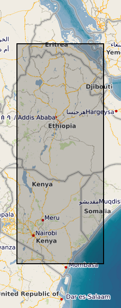
This data set contains a set of 20,740 unwrapped, geocoded interferograms derived from Sentinel-1 InSAR scenes processed over 63 volcanoes within the East African Rift system. A full description of the dataset is provided in the accompanying READMe file. This data set was first published in Albino, F. & Biggs, J. (2020). Magmatic processes in the east African rift system: Insights from a 2015-2020 Sentinel-1 InSAR survey, Geochemistry, Geophysics, Geosystems.
-

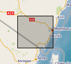
The data set contains Soil Data used in the Gro for GooD Project in Kwale, Kenya based on KENSOTER database and soil survey in study area. The KENSOTER dataset, specific for Kenya, was compiled by the Kenya Soil Survey (KSS) and ISRIC and released in 2006 where ISRIC plays a lead role in methodology development and programme implementation (http://www.isric.org/projects/soil-and-terrain-soter-database-programme). The dataset includes over 600 soil components, including synthetic profiles, which have been derived from soil survey reports and expert knowledge. The second version of the dataset which has been made available includes additional soil profile database and is also used for the assessment of soil carbon stocks. The gaps in the measured soil profile data have been filled using a step-wise procedure which includes three main stages: (1) collate additional measured soil analytical data where available; (2) fill gaps using expert knowledge and common sense; (3) fill the remaining gaps using a scheme of taxotransfer rules. Parameter estimates are presented by soil unit for fixed depth intervals of 0.2 m to 1 m depth for: organic carbon, total nitrogen, pH(H2O), CECsoil, CECclay, base saturation, effective CEC, aluminium saturation, CaCO3 content, gypsum content, exchangeable sodium percentage (ESP), electrical conductivity of saturated paste (ECe), bulk density, content of sand, silt and clay, content of coarse fragments, and available water capacity. The data have recently been used for the Green Water Credit (GWC) programme in the Upper Tana River Valley. This dataset was prepared for the Gro for GooD project by Mike Thomas, Rural Focus Ltd., Kenya; John Gathenya, JKUAT, Kenya. Gro for GooD: Groundwater Risk Management for Growth and Development
 NERC Data Catalogue Service