Format
MAPINFO
Type of resources
Topics
Keywords
Contact for the resource
Provided by
Years
Formats
Update frequencies
Scale
From
1
-
1
/
1
-

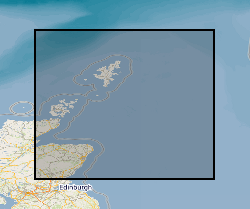
This dataset shows the distribution of Middle Jurassic, Upper Jurassic and Lower Cretaceous lithostratigraphic (UK Offshore Operators Association - UKOOA) units within the UK North Sea graben. The data are based on a subset of released exploration and appraisal wells from within the UK North Sea graben areas. The well data are concentrated in the areas overlying the deep sedimentary basins of the Viking Graben, Central Graben and the Moray Firth Basin, with fewer wells over the adjacent platforms. The UKOOA lithostratigraphic classification has been applied consistently.
 NERC Data Catalogue Service