Format
Scanned image
Type of resources
Topics
Keywords
Contact for the resource
Provided by
Years
Formats
Representation types
Update frequencies
Scale
From
1
-
1
/
1
-

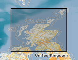
Annotated Scottish 1 inch scale maps. Printed topography with hand annotated fossil locations and geology with hand drawn cross sections, colour-wash with index and observations. Considered working material towards published geological maps.
 NERC Data Catalogue Service