Format
PAPER - PAPER FORMAT
Type of resources
Topics
Keywords
Contact for the resource
Provided by
Years
Formats
Representation types
Update frequencies
Scale
From
1
-
2
/
2
-

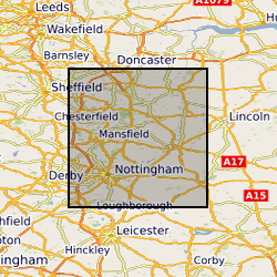
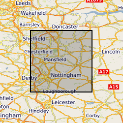
Paper records and photos used to create the Nottingham Caves digital register and maps. Includes archival material of the caves known to BGS, around northern and central Nottingham. Data mainly captured in 1989, infrequent since then approximately 1 per year.
-

GIS Data Layer and Database including maps and detailed Indexes. Paper records and photographs, descriptive register is paper version from which the digital version was created. Data mainly captured in 1989, infrequent additions (approximately 1 entry per year) since then. Includes all man-made caves known to BGS in Nottingham, but there are many more to be located in the future.
 NERC Data Catalogue Service