Contact for the resource
The Coal Authority
Type of resources
Topics
Keywords
Contact for the resource
Provided by
Years
Formats
Representation types
Update frequencies
From
1
-
1
/
1
-

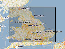
This dataset provides the first map and synthesis of the temperature of Britain's coalfields. It was created to support low-temperature heat recovery, cooling and storage schemes using mine water in abandoned workings. This baseline spatial mapping and synthesis of coalfield temperatures offers significant benefit to those planning, designing and regulating heat recovery and storage in Britain's abandoned coalfields. The data has been developed jointly by the Coal Authority and the British Geological Survey. It is delivered as a hexgrid representing mine water blocks, identifying equilibrium mine temperatures at 10 depth intervals (100m > 1000m) and pumped mine temperatures at 6 depth intervals (100m > 600m).
 NERC Data Catalogue Service