Format
shapefile (.shp)
Type of resources
Topics
Keywords
Contact for the resource
Provided by
Years
Formats
Representation types
Update frequencies
From
1
-
1
/
1
-

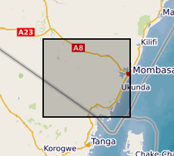
The file consists of data sets from Kwale County, Kenya that describe biophysical characteristics of the catchment overlaid as layers. These include Basin, Sub-basins extent, Soil, DEM, Landuse, Slope, Rivers, Outlets and Monitoring Points. The data are in raster, shapefile, polygon, polyline and point format.
 NERC Data Catalogue Service