 NERC Data Catalogue Service
Geological logs
Type of resources
Available actions
Topics
Keywords
Contact for the resource
Provided by
Years
Formats
Representation types
Update frequencies
Scale
-
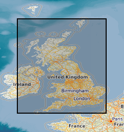
This layer of the map based index (GeoIndex) is a map based index of the National Well Record Archive. This index shows the location of water wells along with basic information such as well name, depth and date of drilling. The index is based on the collection of over 105,000 paper records of water wells, springs and water boreholes. Geological information, construction details, water quality data and hydrogeological data may also be available for some water wells. The amount of detail held on individual sites varies widely and certain fields will have an 'unknown' value where the paper records have yet to be checked for their content. The zero values for the depth represent those for which the depth has yet to be entered into the database from the paper records.