EM methods
Type of resources
Available actions
Topics
Keywords
Contact for the resource
Provided by
Years
Formats
Representation types
Update frequencies
Scale
-
Long-period Magnetotelluric time series recorded in Jan to Feb 2022 at site NT91 near Alnham, England, UK (NT91). Funded by NERC, grant number: NE/V002694/1 "SWIMMR Activities in Ground Effects (SAGE)". These data consist of measurements of the Earth’s natural magnetic and electric field variations.
-
Long-period Magnetotelluric time series recorded in Jan to Feb 2022 at site NT91 near Alnham, England, UK (NT91). Funded by NERC, grant number: NE/V002694/1 "SWIMMR Activities in Ground Effects (SAGE)". These data consist of measurements of the Earth’s natural magnetic and electric field variations.
-
Long-period Magnetotelluric time series recorded in Jan to Feb 2022 at site NT91 near Alnham, England, UK (NT91). Funded by NERC, grant number: NE/V002694/1 "SWIMMR Activities in Ground Effects (SAGE)". These data consist of measurements of the Earth’s natural magnetic and electric field variations.
-
Long-period Magnetotelluric time series recorded in Jan to Feb 2022 at site NT91 near Alnham, England, UK (NT91). Funded by NERC, grant number: NE/V002694/1 "SWIMMR Activities in Ground Effects (SAGE)". These data consist of measurements of the Earth’s natural magnetic and electric field variations.
-
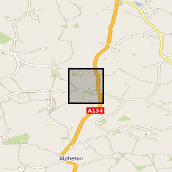
Long-period Magnetotelluric time series recorded in Jan to Feb 2022 at site NT91 near Alnham, England, UK (NT91). Funded by NERC, grant number: NE/V002694/1 "SWIMMR Activities in Ground Effects (SAGE)". These data consist of measurements of the Earth’s natural magnetic and electric field variations.
-
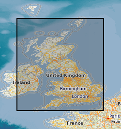
The high-resolution airborne surveys shown on the map based index (GeoIndex) are classed as those flown with low terrain clearance (typically below 200m) and flight line spacing of less than 300m. The surveys were flown with various combinations of magnetic, radiometric and EM techniques, and include; Surveys flown for the DTI mineral reconnaissance programme, Commercial surveys flown for mineral exploration and subsequently donated to the BGS and Surveys flown for the BGS for research and other purposes.
 NERC Data Catalogue Service