Contact for the resource
ARUP
Type of resources
Topics
Keywords
Contact for the resource
Provided by
Years
Formats
Representation types
Update frequencies
Scale
From
1
-
1
/
1
-

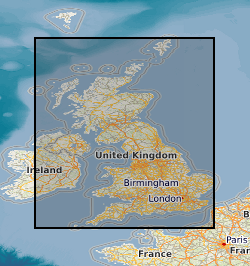
The data shows the extent of mining within Great Britain it was captured in 1990 by OVE ARUP on behalf of the Department of Environment as a series of paper maps and no updates have been carried out. The data has been converted to a digital format (ESRI Shapefile) by BGS in 1995. The original scale of the data was 1km square. The dataset has limited attribution indicating type i.e. metalliferous, rock, coal, deneholes (chalk), evaporites or ironstone, and whether definitive evidence was found. Although every effort has been made to attribute the digital data to the original maps some inconstancies may have arisen due to data conversion process.
 NERC Data Catalogue Service