Wells
Type of resources
Topics
Keywords
Contact for the resource
Provided by
Years
Formats
Representation types
Update frequencies
Scale
-

Index to the statutory notifications of the intention to drill any boreholes, shafts or wells under the Mining Industry Act 1926 or the Water Resources Act 1991 for Great Britain. Index complete for all notifications since 1952, but record data will vary. Complete and current entries generally accurate to 10 metres . Earlier entries to map sheet level only. Digital capture from October 1988.
-

The BGS collection of downhole CCTV (Closed Circuit Television) recordings and backup tapes for worldwide SKYLAB satellite imagery. CCTV recordings carried out down boreholes, mainly drilled for water, were undertaken by BGS for specific commercial contracts in Great Britain, and may also have associated geophysical data. The collection started in 1997, and the present holdings are 138 videos, with infrequent additions. Video recordings on other topics may be added.
-

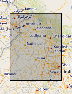
Groundwater level measurements collected by the state groundwater boards of Punjab and Haryana states, India, and by the Central Groundwater Board. The data consist of well locations and measurements of groundwater levels, in metres below the top of the well casing. Data were collected in both the pre-monsoon (May-June) and post-monsoon (October-November) periods. Data availability is irregular across the entire suite of wells.
-

Series of reports on Wells and Springs of English counties, Wartime Pamphlets of water wells and published BGS Well Inventories.
-

100,000 paper records of water wells, including details of lithologies, well construction, water levels and yields and water chemistry. Details lodged by drillers under statute. Includes approximately 90% of water boreholes in England & Wales, less in Scotland. There is a high density of information over major aquifers and urban areas with new data added as it is received from drillers and other outside organisations. The level of detail within individual records varies, reflecting historical changes in reporting practices.
 NERC Data Catalogue Service