Quarries
Type of resources
Available actions
Topics
Keywords
Contact for the resource
Provided by
Years
Formats
Representation types
Update frequencies
Scale
-

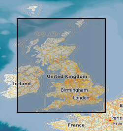
This layer of the map based index (GeoIndex) shows the location and name of active mineral workings in the UK and is derived from the BGS BritPits (British Pits) database. The BritPits database of onshore mineral workings in the UK is based on the records of the BGS, the Coal Authority, industry sources and the Valuation Office Agency (Minerals) and is maintained by the BGS Onshore Minerals and Energy Resources Programme. The database describes individual workings, both currently active and formerly worked, in terms of name, location (including Mineral Planning Authority), ownership, basic geology, commodity produced and end-uses. Contact details including the operator name, address, postcode and telephone and fax numbers are held where known. The location of over 6000 workings are held, with about 2000 currently being worked. The data can be produced digitally, under licence, in formats to meet customer requirements, such as locations of workings or operator addresses, and is suitable for use in GIS applications using the British National Grid. Although the GeoIndex is updated at regular intervals more information may be available than is shown at any one time.
-

The BGS BritPits v3 is derived from a BGS database, which contains records of mineral workings covering the Great Britain, Northern Ireland, Isle of Man and Channel Islands. The coverage includes active, inactive, dormant and ceased sites and a range of mineral operations, including mines, quarries, onshore oil and gas fields, together with wharfs and rail depots handling mineral products and industrial processes which produce a mineral product. The information on currently active sites is continually updated with the cooperation of both local authorities and the minerals industry.
 NERC Data Catalogue Service