Earthquakes
Type of resources
Available actions
Topics
Keywords
Contact for the resource
Provided by
Years
Formats
Representation types
Update frequencies
Scale
-

This dataset contains petrophysical characteristics of andesite samples (geometry, porosity, permeability) before and after a series of mechanical tests (which were conducted as part of another project). The data is presented in the publication Lamur et al., 2023 (https://doi.org/10.1038/s41598-022-26721-x). The data were collected at the University of Liverpool, analysed at the University of Liverpool and LMU Munich. All samples were collected on Colima volcano, Mexico. Experiments were conducted in 2021 and data analysed throughout 2021 and 2022. For each experiment, a rock cylinder of 25x50 mm (diameter x height) is prepared. Porosity data is calculated from sample geometry and volume measured in a helium pycnometer. Permeameter data is output automatically from the permeameter when a constant flow rate of helium gas through the sample is achieved, at which point the pressure differential and flow rate are used to calculate permeability. The values are for andesite samples from Colima volcano, pre- and post- mechanical testing. The data show the extent of changes of petrophysical properties possible by mechanical deformation in the brittle regime. Volcanic environments are often subjected to low magnitude; repetitive earthquakes that may contribute to the overall rock mass (or volcanic edifice/dome) fatigue. Understanding how such mechanical oscillations may change the characteristics of the volcanic rocks comprising the edifice can help better understanding associated hazards.
-

This is a collection of extracts from British newspapers describing earthquakes, mostly British. It contains original clippings, photocopies, and in a few cases manual transcriptions.
-
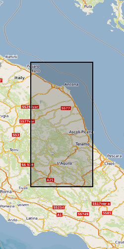
The data collection consists of 25 3-component broadband seismic station at 100sps (approx. 45mb per station, per day) located in the epicentral area of the 26th August 2016, M=6.0 Amatrice earthquake. The sequence evolved with strong mainshocks for over 6 months reaching a maximum magnitude of M=6.4 that struck Norcia town on October 30th, 2016. In line with SEIS-UK guidelines data was archived with the IRIS data management facility (https://ds.iris.edu/ds/nodes/dmc/) under the FDSN network code YR and using the network name “Amatrice Sequence International”. The project has the digital identifier https://doi.org/10.7914/SN/YR_2016.
-
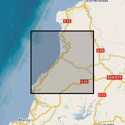
Data collected as part of a UK/French/US collaborative effort to record aftershocks from the 2016 Pedernales Earthquake in Ecuador. The dataset comprises continuous seismic data recorded on broadband and short period instrumentation.
-
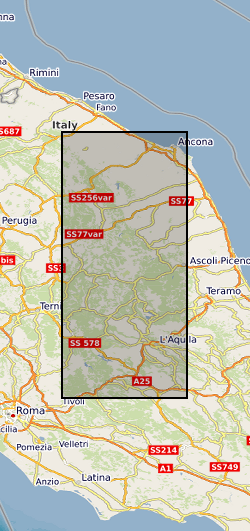
A set of six large catalogues documenting the seismic sequence that occurred in central Italy between 2016 and 2017, characterized by a cascade of four MW5.5–6.5 events. The earthquake catalogues possess different levels of resolution and completeness that result from progressive enhancements in both detection sensitivity and hypocentral location determination. These quality differences reflect the subsequent application of advanced methods.
-

Ascii files and tables with earthquake source and model parameters for five events in the Azores archipelago.
-

Theoretical waveforms computed to study earthquakes in the Azores archipelago. Grant abstract: How do earthquakes happen? Understanding the nature of earthquakes is a key fundamental question in Geociences that holds many implications for society. Earthquakes are typically associated with a sudden release of energy that has slowly accumulated over hundreds to thousands of years, being strongly controlled by friction in faults buried several kilometers beneath our feet under quite extreme conditions. For example, the amount of heat produced in just a few seconds is such that it can dramatically change the nature of the fault zone near the sliding surface. Moreover, there is abundant evidence of substantial frictional weakening of faults (i.e., fault strength weakens with increasing slip or slip rate) during earthquakes. However, there are still many open questions related to earthquake source processes: How similar are earthquakes in different temperature-pressure conditions? What is the earthquake's energy budget, which controls the intensity of ground motions? What are the physical mechanisms responsible for fault weakening? Recent progress in seismological imaging methods, theoretical fracture mechanics and rupture dynamics simulations can help solve these questions. Huge volumes of freely available seismic and geodetic data from around the world now allow the routine calculation of earthquake models where earthquakes are typically described as single space-time points. Time is now ripe for systematically building robust, more detailed seismic models bearing information on earthquake's physics by using recently developed sophisticated modelling tools along with high-quality images of the 3-D Earth's interior structure enabled by high performance computing facilities. Moreover, it is now possible to model ruptures theoretically in detail using both analytical fracture mechanics calculations and numerical rupture dynamics simulations, and, for example, estimate the fault temperature during the rupture process, which is the most direct way to quantify friction. However, systematic quantitative links between these calculations and seismological observations are still lacking. This project addresses these issues through a coordinated effort involving seismology and rock mechanics aiming at estimating fault temperature rise during earthquakes from new macroscopic seismic source models. We will use advanced seismic source imaging methods to build a new set of robust kinematic, static and dynamic earthquake source parameters for a large selected set of global earthquakes (e.g., average fault length, width, rupture speed and time history, stress drop, radiated and fracture energy). These solutions will then be used as input parameters to estimate fault temperature using analytical and numerical rupture dynamics calculations. This will lead to an improved understanding of how local fault processes occurring at scales from few microns to tens of centimetres translate into macroscopic seismological properties, how energy is partitioned during earthquakes and which are the mechanisms responsible for fault weakening. Ultimately this project will shed new light on many basic questions in earthquake science such as the similarity of earthquakes in different P-T conditions and the potential geological record left by ruptures (e.g., melt). More broadly, this project will benefit hazard models and any studies relying on accurate earthquake source parameters such as studies in seismic tomography, active tectonics and microseismicity (e.g., associated with hydraulic fracturing).
-

Field reports and macroseismic questionnaires for recent British earthquakes. As of 2003, data collection for this dataset is mostly digital.
-

Photos and videos collected during earthquake damage surveys of the village of Amatrice, central Italy. The earthquake struck on the 24th of August 2016 at 3:36 am local time, a Mw 6.2 earthquake struck a mountainous region of central Italy on the borders between Umbria, Marche, Lazio and Abruzzo. The Earthquake Engineering Field Investigation Team (EEFIT) mission ran from the 4th to the 15th of October 2016. The three main aspects investigated were the ground surface effects caused by the earthquake, the structural damage of masonry buildings and bridges and the effects of the earthquake on reinforced concrete structures and infrastructure.
-
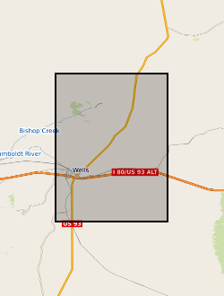
Ascii files or tables with earthquake source and model parameters determined for the Wells, Nevada earthquake
 NERC Data Catalogue Service