Format
Hardcopy - Paper map
Type of resources
Topics
Keywords
Contact for the resource
Provided by
Years
Formats
Update frequencies
From
1
-
1
/
1
-

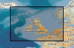
Corrected and smoothed and network adjusted ship gravity, magnetics and bathymetry data acquired by BGS as part of its Offshore Reconnaissance Mapping Programme. This programme was commenced in 1967, funded mainly by the Department of Energy.
 NERC Data Catalogue Service