Contact for the resource
ARGANS Ltd
Type of resources
Topics
Keywords
Contact for the resource
Provided by
Years
Formats
Representation types
Update frequencies
From
1
-
1
/
1
-

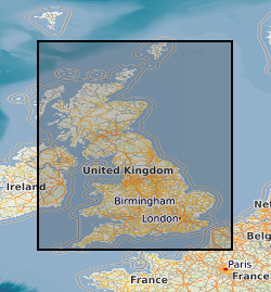
DiGBcoast v1.0, is a new supranational dataset documenting three decades of coastal change across Great Britain mainland (England, Scotland, and Wales) including the isle of Wight and Anglesey. This dataset has been produced using the publicly available optical Landsat-5,8 and Sentinel-2 missions over the period between 1984 to 2022 (38 years). It includes instantaneous waterlines and instantaneous tidally corrected to Mean Sea Level shorelines. DiGBcoast is made available to the public as free and open interactive data to support future coastal research and management across Great Britain.
 NERC Data Catalogue Service