Sands
Type of resources
Topics
Keywords
Contact for the resource
Provided by
Years
Formats
Representation types
Update frequencies
Scale
-

This database is from series of laboratory experiments designed to explore the effect of hydrate cementaion on some sands. This dataset is part of NERC Arctic Landslide-Tsunami Project (http://arp.arctic.ac.uk/projects/landslide-tsunami/) and has been presented in International conference and Journal article (under review) namely, 1) Madhusudhan, B.N. and Clayton, C.R.I. (2016) Influence particle size on strength of gas hydrate cemented granular materials. Wuttke, F., Bauer, S. and Sanchez, M. (eds.) In Energy Geotechnics. CRC Press. 742 pp, pp. 445-449. (doi:10.1201/b21938-71). 2) Madhusudhan,B.N, Clayton, C.R.I. and Priest, J.A ‘1 The Effects of Hydrate on the Strength and Stiffness of some Sands’. Under-review in Journal of Geophysical Research – Solid Earth.
-

These data contain time series of stress, strain, confining pressure, pore pressure, pore volume and elastic wave velocities of samples of quartz sand aggregates deformed under hydrostatic and triaxial conditions at room temperature. This dataset is used and fully described/interpreted in the paper: Hangx S. J. T. and N. Brantut,Micromechanics of high pressure compaction in granular quartz aggregates, submitted to J. Geophys. Res.
-

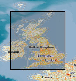
The UK Sand and Gravel Database was compiled during the production of the Industrial Mineral Assessment Reports. The Department of the Environment commissioned this Report series from the British Geological Survey. Data collection extended from the first IMAU report in 1969 to the last report in 1990. The dataset is complete and is derived from reports with some additional boreholes that were never published. Standard procedures were adopted for whole project. Each report studied the sand and gravel resources of an area of between one hundred and two hundred square kilometres. Specially commissioned boreholes on a one kilometre grid basis were used in conjunction with existing geological knowledge to make a resource level assessment of the volume and quality of sand and gravel resource available. A total of 12,563 boreholes were drilled, 53,721 Lithological units described and 54,128 samples collected and graded. This information is presented in the appendixes of the individual reports and as a single database. Data collection is complete. Only factual corrections to the data are occasionally made. The dataset includes the borehole location, total depth, unit thickness, unit lithologies, and grading information.
-

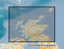
'Archive' collection of c.3,000 records of the former Industrial Minerals Assessment Unit (IMAU) relating to sand and gravel assessment projects in Scotland, 1978-88. Includes borehole and trial pit records, grading and resource assessment data and aggregate tests.
 NERC Data Catalogue Service