Text Document
Type of resources
Topics
Keywords
Contact for the resource
Provided by
Years
Formats
Representation types
Update frequencies
-

Numerical model predictions of present-day horizontal deformation due to ongoing glacial isostatic adjustment processes at GPS sites across Antarctica. Model accounts for 3D spatial variations in Earth rheology using a finite element approach.
-

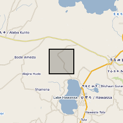
The RiftVolc microgravity network was comprised of a total of 4 benchmarks including a reference benchmark. Benchmark locations, observed gravity changes, dg14 -16, from 2014-2016, corresponding vertical deformation, Uz, free-air effect, and resultant residual gravity changes gr of the microgravity and GNSS network at Corbetti.
-

Numerical model predictions of present-day solid Earth deformation and gravity field change due to ongoing glacial isostatic adjustment processes. Model accounts for 3D spatial variations in Earth rheology using a finite element approach.
-

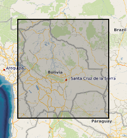
Each file contains four columns of data representing: column 1: UTM Zone 19S Easting coordinate for survey location along the Rio Beni, Bolivia. column 2: UTM Zone 19S Northing coordinate for survey location along the Rio Beni, Bolivia. column 3: Measurment range from observer to bank in m column 4: Bank height in m (the difference between bank top and low flow water level) UTM coordinates were measured using a Trimble Global Position System with OmniSTAR HP correction Measurement range and bank height were measured using a GPS supported laser range finder (Impulse 200 LR< Laser Technology inc) Survey 1 was carried out between 15th and 19th September 2011, when the flow discharge within the Beni was in the range 453-530 cumecs Survey 2 was carried out between 20th and 23rd September 2011, when the flow discharge within the Beni was in the range 762-892 cumecs
-

This dataset contains the collated wireline logs, stratigraphy and core analysis of the three boreholes drill as part of the publicly funded Rapid Global Geological Events Project (RGGE) which ran between 1995-1998. The aim of the RGGE project was to identify the effects of climatic changes on modern sediments. The project focused on the Kimmeridge Clay due to its unbroken sequence of fossiliferous marine mudstones. These mudstones have compositional variations in organic content, minerology, fauna and clay content which reflect changes in both the climate and sea level. Over the course of the project the entire sequence of the Kimmeridge Clay was cored across three boreholes, two at Swanworth Quarry and one at Metherhills.
 NERC Data Catalogue Service